Subiaco Museum > Records
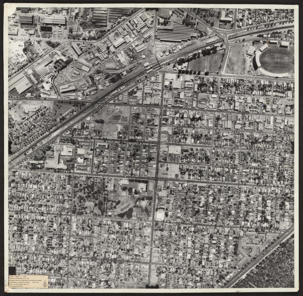
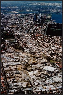
PHOTOGRAPH: AERIAL VIEW, 1976
1976Overview
Prepared under the direction of the Surveyor General, Department of Lands and Surveys.
Black and white aerial photograph of Subiaco. The photograph shows Subiaco Oval in the top right hand corner, the industrial area of Subiaco, the rail line and the Hay Street underpass.
Rokeby Road runs down the middle of the image and a portion of Kings Park can be seen in the bottom corner. Subiaco Primary and the Civic precinct can be seen in the middle.
A label on the bottom left reads
'SCALE (APPROX) 1:1,500'
'DATE OF PHOTOGRPAH: 24.2.76'
'PREPARED UNDER THE DIRECTION OF THE SURVERYOR GENERAL'
'DEPARTMENT OF LANDS AND SURVERY, PERTH WA'
North is directly up on the image.
Details
Details
Registration number
cwa-org-43-2023.530
Item type
Photographs
Material
Card
Ink
Keywords
Subiaco City Council
Subiaco Library
Subiaco Primary School- Education
Rokeby Road, Subiaco
Hay Street, Subiaco
Hay Street And Rokeby Road Intersection
industry
Subiaco Oval
Axon Street Bridge
Subiaco Train Station
Daglish Railway Station
Year
Last modified
Wednesday, 14 February, 2024
Completeness
Other items from Subiaco Museum
-
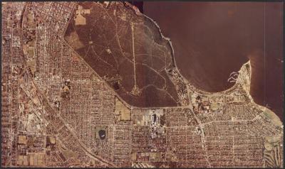
PHOTOGRAPH: AERIAL VIEW, SUBIACO AND SHENTON PARK, EARLY 1970S
-
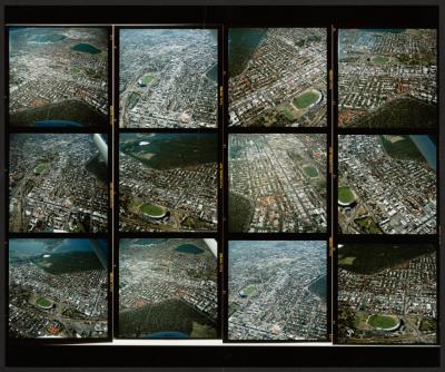
PHOTOGRAPH (COMPOSITE): SUBIACO AERIAL IMAGES
-
PHOTOGRAPH: SUBIACO AERIAL VIEW
-
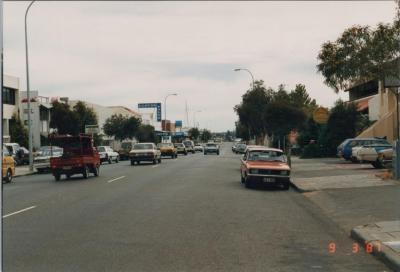
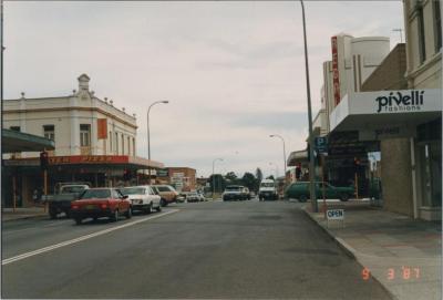
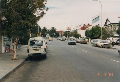
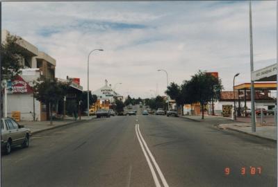
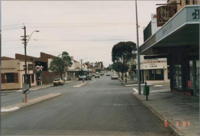
PHOTOGRAPH: HAY STREET, SUBIACO, 1987
-
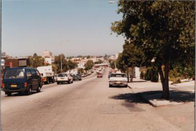
PHOTOGRAPH: HAY STREET, SUBIACO, 1988
-
PHOTOGRAPH: HAY STREET, SUBIACO, 1988
-
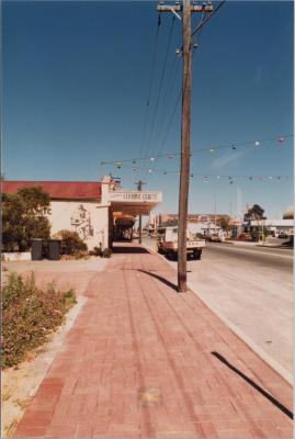
PHOTOGRAPH: HAY STREET, SUBIACO, 1987
-
PHOTOGRAPH: HAY STREET, SUBIACO, 1987
-
PHOTOGRAPH: HAY STREET, SUBIACO, 1987
-
PHOTOGRAPH: HAY STREET, SUBIACO, 1987
-
PHOTOGRAPH: HAY STREET, SUBIACO, 1987
-
PHOTOGRAPH: HAY STREET, SUBIACO, 1987