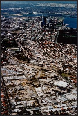
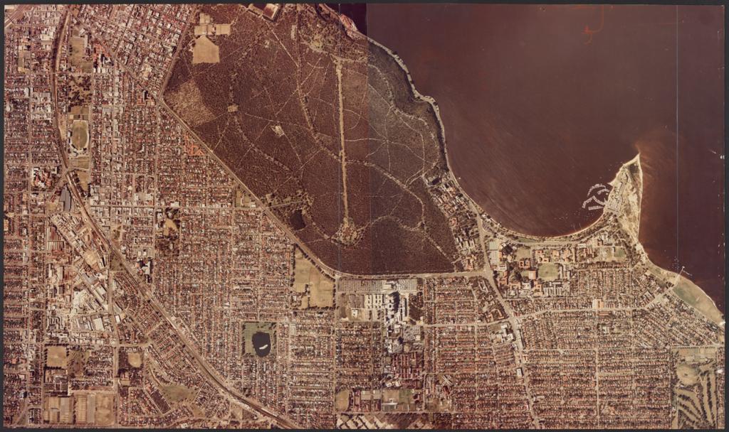
PHOTOGRAPH: AERIAL VIEW, SUBIACO AND SHENTON PARK, EARLY 1970S
1970coloured aerial photograph of Subiaco, Kings Park and Crawley.
Image shows Subiaco trainline and oval at the top of the image. Kings Park and the hosiptal precinct is in the middle with Nedlands, Crawley and UWA at the bottom.
Image taken after 1964 but before 1976, circa early 1970s. Appears station underpass is under construction - needs more research.
Details
Details
Other items from Subiaco Museum
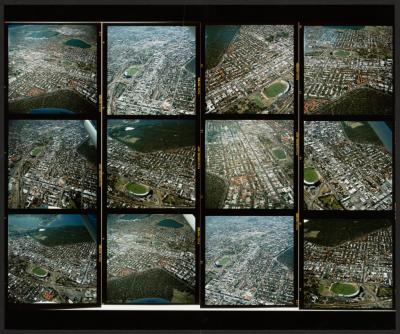
- PHOTOGRAPH (COMPOSITE): SUBIACO AERIAL IMAGES
- PHOTOGRAPH: SUBIACO AERIAL VIEW
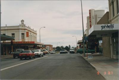
- PHOTOGRAPH: HAY STREET, SUBIACO, 1987
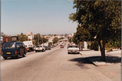
- PHOTOGRAPH: HAY STREET, SUBIACO, 1988
- PHOTOGRAPH: HAY STREET, SUBIACO, 1988
- PHOTOGRAPH: HAY STREET, SUBIACO, 1987
- PHOTOGRAPH: HAY STREET, SUBIACO, 1987
- PHOTOGRAPH: HAY STREET, SUBIACO, 1987
- PHOTOGRAPH: HAY STREET, SUBIACO, 1987
- PHOTOGRAPH: HAY STREET, SUBIACO, 1987
- PHOTOGRAPH: HAY STREET, SUBIACO, 1987
- PHOTOGRAPH: HAY STREET, SUBIACO, 1987
