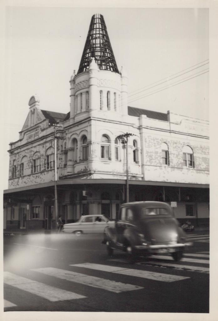
PHOTOGRAPH: SUBIACO HOTEL DEMOLITION OF TOWER
1963Black and white photograph of the tower of the Subiaco Hotel in 1963. Demolition has begun on the turret and only the framework of the tower is left. The paintwork on the upper level of the hotel is in poor condition. The building on the opposite corner has Rokeby Fisheries' advertisements appearing on the right hand side of the building. Shows a close-up of the hotel, showing paint peeling off the walls, and tower framework. Two cars are in the foreground.
The Subiaco Hotel built was opened around 1897. Built on the corner of Rokeby Road and Hay Street, this Subiaco landmark has undergone several renovations during its one hundred and twenty years, but still retains much of the original design character.
Further information can be found about the Subiaco Hotel from the Summerhayes Collection which includes the original drawings. The Summerhayes architects were involved with the Subiaco Hotel during several subsequent refurbishments. Reg Summerhayes was the architect for major alterations and additions undertaken during the 1950s, and the Summerhayes firm was again commissioned for alterations undertaken in 1972.
The place has undergone various adaptations and additions over the years, which has resulted in changes to or the removal of some original fabric. Most notable changes include the removal of the verandas during renovations in 1957 and the turret/spire which was removed in 1963 as a result of termite damage.
The Subiaco Hotel still stands and is one of the few existing hotels in Western Australia built in the Federation Romanesque style.
Details
Details
Local and regional history
Open in Google Maps
Nearest geotagged records:
- Hotel Subiaco. (0km away)
- Subiaco Hotel, corner of Rokeby Road and Hay Street, Subiaco (0km away)
- PHOTOGRAPH: SUBIACO HOTEL DEMOLITION OF TOWER (0km away)
- PHOTOGRAPH: 'ROKEBY ROAD UPGRADING, HAY STREET TO BARKER ROAD' 1988 (0.03km away)
- PHOTOGRAPHIC COLLAGE (FRAMED): 'ROKEBY ROAD', JASON GILLESPIE (0.03km away)
- Rokeby Road, Subiaco, [1930?] (0.03km away)
- PHOTOGRAPH (DIGITAL): HAY STREET AT THE CORNER OF ROKEBY ROAD, SUBIACO, CIRCA 1950 (0.03km away)
- PHOTOGRAPH: 'ROKEBY ROAD/ HAY STREET', 1982 (0.03km away)
- PHOTOGRAPH: 'ROKEBY ROAD BEFORE POWER UNDERGROUNDING' 1984 (0.03km away)
- AWAS on Rottnest - WF96892 LLORENS (married BROWNE) (0.04km away)
Nearby places: View all geotagged records »
Other items from Subiaco Museum
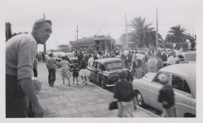
- PHOTOGRAPH: LAST TRAM DOWN ROKEBY ROAD
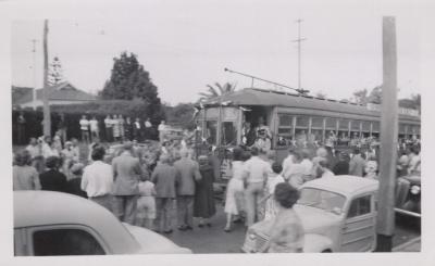
- PHOTOGRAPH: LAST TRAM DOWN ROKEBY ROAD
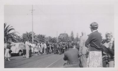
- PHOTOGRAPH: LAST TRAM DOWN ROKEBY ROAD
- PHOTOGRAPH: SUBIACO INFANTS' SCHOOL, CLASS 2, C.1920
- PHOTOGRAPH: J. MARTIN NEAR ROTUNDA IN RANKIN GARDENS, CIRCA 1926
- PHOTOGRAPH: RANKIN GARDENS WITH WATER TOWER CIRCA 1936
- PHOTOGRAPH: RANKIN GARDENS AND CLOCK TOWER, C.1930
- PHOTOGRAPH (COPY): RANKIN GARDENS AND CLOCK TOWER, CIRCA1930
- PHOTOGRAPH: CARETAKER'S HOUSE, SUBIACO OVAL, 1932
- PHOTOGRAPH: WHITTAKER BROS. BUILDING, C.1948?
- PHOTOGRAPH: WHITTAKERS' BUILDINGS, C.1935
- PHOTOGRAPH: AERIAL VIEW OF WHITTAKER BROS. BUILDINGS
