Kweda, Western Australia, Australia
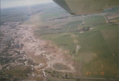
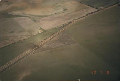
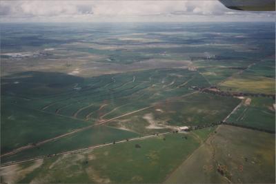
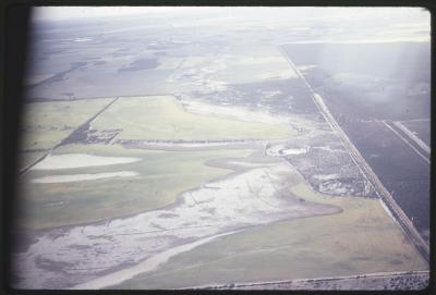
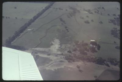
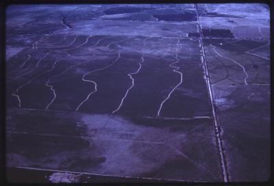
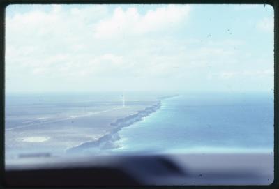
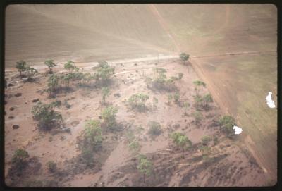
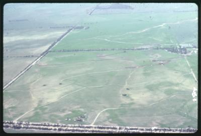
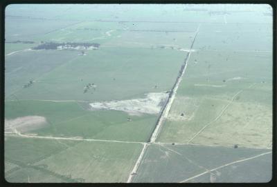
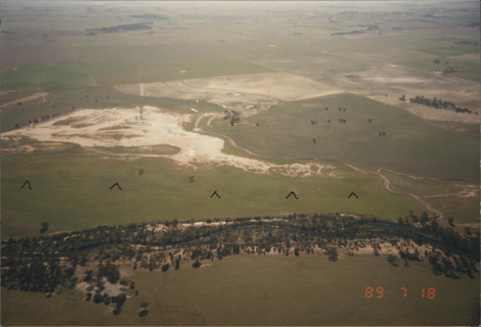
1989Aerial View. Tributary of the Avon River: location approximately 18 kilometres south-east of Kweda, and is east of Brookton. When this photo was taken the river was still tree-lined and the approaches to the river were still reasonably clear of degradation but early symptoms are clearly visible to the experienced observer. The plane is flying on a westerly course. From this position the line of a barrier is visible just beneath the surface, marked by arrow heads. Water coming into the river from the west is unable to continue its course into the river. To gain entry to the river it is building-up in front of or west of the barrier. The water is seen to be on the surface just west of the barrier. The barrier is extending towards the north going towards the direction the river water is coming from. How long will it be before this portion of the river approaches look similar to the approaches of the river 14 kilometres east of Quairading. This image is part of the WISALTS (Whittington Interceptor Sustainable Agriculture Land Treatment Society Incorporated) Collection.
Details
Details
Copyright and Reference
Copyright and Reference
Preferred Citation [Identification of item], Whittington Interceptor Sustainable Agriculture Land Treatment Society Incorporated (WISALTS) Collection, QB 15, Special Collections, Geoffrey Bolton Library, Murdoch, Western Australia.
Other items from Murdoch University Library
- Quairading, Western Australia, Australia - 010
- Quairading-Shackleton Road, Quairading, Western Australia, Australia - 002
- Western Australia, Australia - 065
- Western Australia, Australia - 074
- Western Australia, Australia - 075
- Western Australia, Australia - 076
- Western Australia, Australia - 077
- Western Australia, Australia - 078
- Western Australia, Australia - 079
- Western Australia, Australia - 080
- Western Australia, Australia - 081
- Western Australia, Australia - 082
