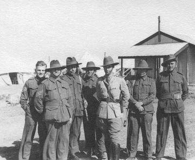
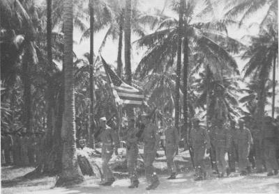
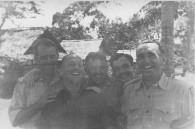
World War 2, Australia Western Australia Berkshire Valley, 1944
1944View of camp area in Berkshire Valley, with fencing and wheat crop
Details
Details
Open in Google Maps
Nearest geotagged records:
Nearby places: View all geotagged records »
Army Museum of Western Australia
Army Museum of Western Australia
Other items from Army Museum of Western Australia
- World War 2, Australia, 1943
- World War 2, Australia, 1943
- World War 2, Australia, 1943
- World War 2, Middle East, STATHAM, 1942
- World War 2, Middle East, STATHAM, 1942
- World War 2, Middle East, STATHAM, 1942
- World War 2, Middle East, STATHAM, 1942
- World War 2, Papua New Guinea, 1943
- World War 2, Papua New Guinea, 1943
- World War 2, Papua New Guinea, 1943
- World War 2, Papua New Guinea, 1943
- World War 2, Papua New Guinea, 1943
