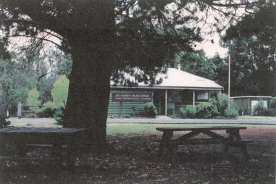
Nannup Historical Society and Museum > Records
Nannup Bowling Green, Warren Road, Nannup
Overview
Nannup Bowling Green, Warren Road, Nannup
Details
Details
Registration number
cwa-org-10-B184
Geotag
-33.97753967943, 115.76512832759
Open in Google Maps
Nearest geotagged records:
Nearby places: View all geotagged records »
Open in Google Maps
Nearest geotagged records:
- World War 1, Australia Western Australia Nannup, 2008 (0.03km away)
- World War 1, Australia Western Australia Nannup, 2008 (0.03km away)
- World War 1, Australia Western Australia Nannup, 2008 (0.03km away)
- World War 1, Australia Western Australia Nannup, 2008 (0.03km away)
- World War 1, Australia Western Australia Nannup, 2008 (0.03km away)
- World War 1, Australia Western Australia Nannup, 2008 (0.03km away)
- AWAS on Rottnest - WF53710 WEST (0.04km away)
- 1982 Floods - Warren Road by Hotel (0.04km away)
- 1982 Floods - Warren Road by Hotel (0.04km away)
- Nannup Hotel, Warren Road, Nannup (0.04km away)
Nearby places: View all geotagged records »
Last modified
Wednesday, 15 December, 2021
Completeness
Nannup Historical Society and Museum
Nannup Historical Society and Museum
Other items from Nannup Historical Society and Museum
-
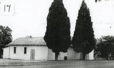
Nannup Town Hall and Supper Room, Warren Road, Nannup
-
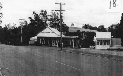
Nannup Motors (RAC)
-
Nannup policeman's house

-
Carlotta teachers house, relocated to Nannup.

-
Nannup railway siding.

-
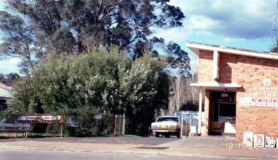
Nannup Post Office
-
Nannup Clock Tower building under construction 1/07/2018

-
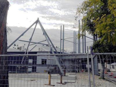
Nannup Clock Tower building under construction 1/07/2018
-
Toilet in prisoners exercise yard at police cells building, Nannup. Taken 2010

-
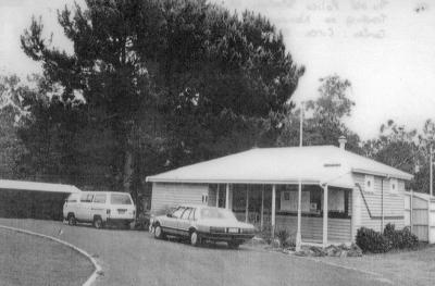
The old police station. NB. cells. Trading as Nannup Tourist Information Centre. C. 1980
-
Nannup Historical Society Headquarters showing old and new signage. 24 March 2014.

-
The old police station. NB. cells. Trading as Nannup Tourist Information Centre. C. 1980