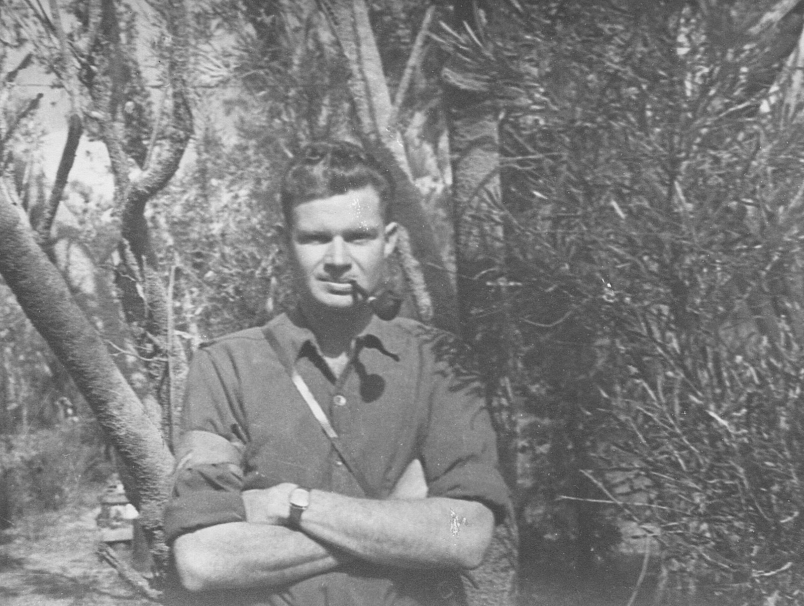
World War 2, Australia. Western Australia. Rockingham Camp, RICHARDS, 1940
1940Informal outdoor portrait of Ian Richards at Rockingham Artillery Range
The location of the Army camp appears on early maps as a pair of narrow road reserves within a Commonage or Common Reserve 1485 – a large reserve that extended roughly between Wellard Road and Anketell Road. This section of town common land was utilised by the army during WW1 and WW2, as well as the open spaces of unoccupied bushland to the east of the township, which was considered a good training ground for both men and horses.
The artillery also made use of the bare sandhills around Warnbro Sound as a practice ground, and left there many unexploded shells, not retrieved until the 1980s.
The Radar Detection Huts located nearby (on the south side of Wellard Road) are associated with this army camp, and it is believed that the place was a campsite for the military personnel who operated the radar surveillance site.
During the 1950s and 1960s the site was occupied by a nightclub, the Ding Dong.
Details
Details
Open in Google Maps
Nearest geotagged records:
Nearby places: View all geotagged records »
Australian Army Museum of Western Australia
Australian Army Museum of Western Australia
Other items from Australian Army Museum of Western Australia
- World War 2, North East Indonesia Morotai, 1945
- World War 2, North East Indonesia, 1945
- World War 2, North East Indonesia, 1945
- World War 2, North East Indonesia, 1945
- World War 2, North East Indonesia Morotai, 1945
- World War 2, North East Indonesia, 1945
- World War 2, North East Indonesia Morotai, 1945
- World War 2, South West Pacific, Borneo, Tarakan, 1945
- World War 2, North East Indonesia Morotai, 1945
- World War 2, Australia South Australia Watson, 1945
- World War 2, North East Indonesia, 1945
- World War 2, North East Indonesia, 1945
