World War 2, Middle East, Lebanon, Acre, 1941
1941Overview
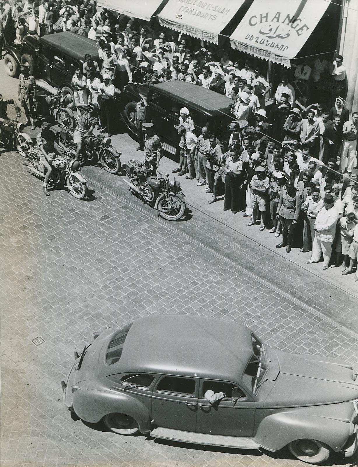
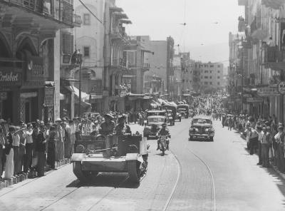
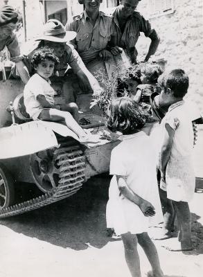
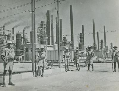
Street view in Acre during armistice ceremony
Details
Details
Registration number
cwa-org-32-P2012.57.6d
Item type
Photographs
Material
Photographic Media
Year
Geotag
32.932992621853, 35.080794126585
Open in Google Maps
Nearest geotagged records:
Open in Google Maps
Nearest geotagged records:
Zero geotagged records found within 2km
View all geotagged records »Last modified
Tuesday, 2 June, 2026
Completeness
Australian Army Museum of Western Australia
Australian Army Museum of Western Australia
Other items from Australian Army Museum of Western Australia
-
World War 2, Middle East Lebanon Beirut, 1941
-
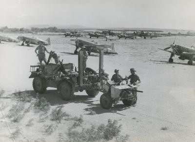
World War 2, Middle East, 1941
-
World War 2, North Africa, 1941
-
World War 2, Middle East , 1941
-
World War 2, Middle East, 1941
-
World War 2, North Africa, 1941
-
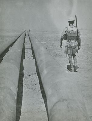
World War 2, North Africa, Western Desert, 1941
-
World War 2, Middle East , 1941
-
World War 2, Middle East, 1941
-
World War 2, Middle East, 1941
-
World War 2, Middle East, 1941
-
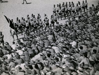
World War 2, Australia Victoria, 1941