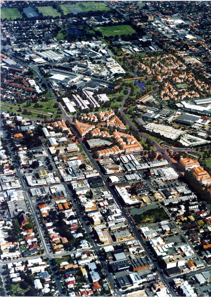
PHOTOGRAPH: AERIAL VIEW OF PROPOSED SUBIACO AND JOLIMONT REDEVELOPMENT
1992Colour, laminated finish photograph. Aerial image of Subiaco October 1992, modified to show redevelopment potential.
Shows Subiaco and Jolimont in 1992 including part of Subiaco Oval, Townsend Road, Railway Parade, Rokeby Road to Barker Road, St John of God Hospital, railway line, Subiaco railway station and signal cabin. Industrial area surrounding railway line.
The image is modified to show possibilities opened by sinking of railway line and redevelopment of industrial area. These include multilevel buildings in parkland between Subiaco Oval and Rokeby Road, another multi level development between Hay and Forrest Street with a lower level development in industrial area.
Donated by City of Subiaco records 2010
Details
Details
Forbes and Fizthardinge Architects and Planners
Historic: Aerial view of existing Subiaco/Jolimont area 1992 and projection of possibities following sinking of railway line and redevelopment of industrial area
Other items from Subiaco Museum
- PHOTOGRAPH: AERIAL VIEW OF EXISTING JOLIMONT AND SUBIACO
- PHOTOGRAPH: AERIAL VIEW OF PROPOSED SUBIACO AND JOLIMONT REDEVELOPMENT
- PHOTOGRAPH: LAKE FAMILY
- PHOTOGRAPH: PLAN: BENEDICTINE MONASTERY AT NEW SUBIACO, 1864
- PHOTOGRAPH: COPY OF PHOTOGRAPH OF THE EVANGELISTA FAMILY ARRIVING AT FREMANTLE IN 1950
- PHOTOGRAPH: LORI SCHIAVITTI IN FRONT OF HOUSE OR SCHIAVITTA
- PHOTOGRAPH: COLOURED PHOTOGRAPH OF LOREDANA SCHIAVITTI
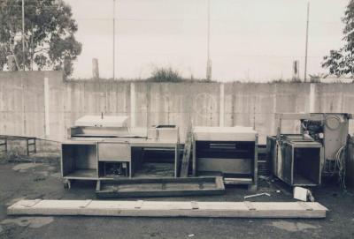
- PHOTOGRAPH: ARCUS YARD, SONYA SEARS, 1997
- PHOTOGRAPH: ARCUS YARD, SONYA SEARS, 1997
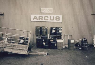
- PHOTOGRAPH: ARCUS FACTORY, SONYA SEARS, 1997
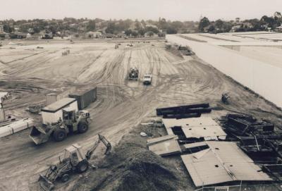
- PHOTOGRAPH: HUME SITE REDEVELOPMENT, SONYA SEARS, 1997
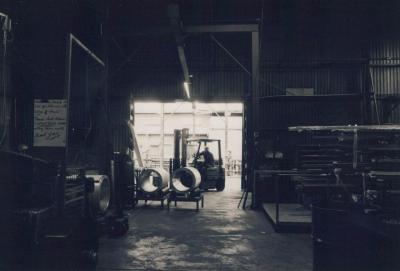
- PHOTOGRAPH: INTERIOR OF ARCUS FACTORY, SONYA SEARS, 1997


