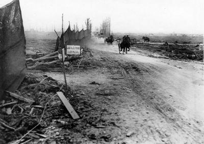
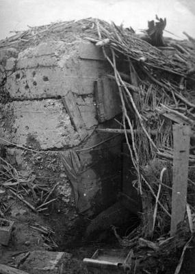
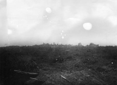
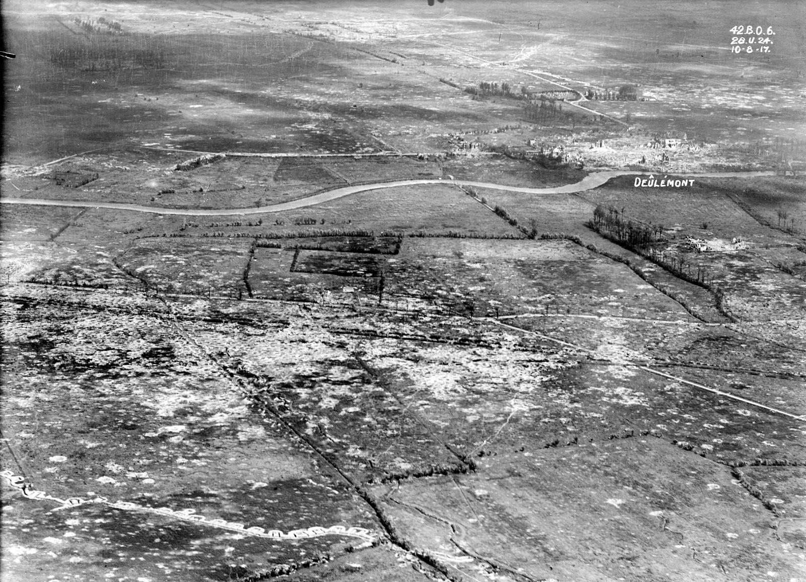
World War 1, Europe, France, Western Front, Deulemont, 1918
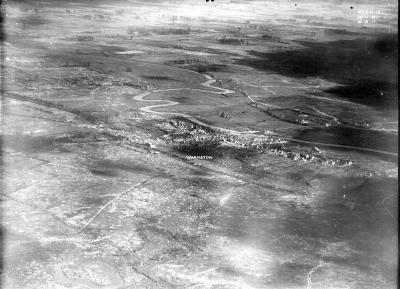
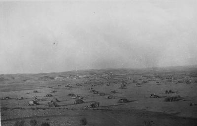
1918Aerial view of battle area near Deulemont, showing German trenches
Deûlémont (from Dutch: Deulemonde) is a commune in the Nord department in northern France. It is part of the Urban Community of Lille Métropole.
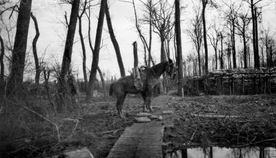
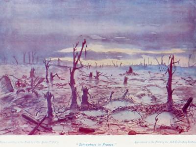
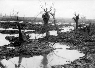
The North-east of France and the south-west Belgium were known as Flanders. West of a line between Arras and Calais in the north-west, lay chalk downlands, covered with soil sufficient for arable farming. East of the line, the land declines in a series of spurs into the Flanders plain, bounded by canals. The Lys, Yser and upper Scheldt had been canalised and between them the water level underground was close to the surface, rose further in the autumn and filled any dip, the sides of which then collapsed. The ground surface quickly turned to a consistency of cream cheese and on the coast troops were confined to roads, except during frosts.
Details
Details
Open in Google Maps
Nearest geotagged records:
Army Museum of Western Australia
Army Museum of Western Australia
Other items from Army Museum of Western Australia
- World War 1, Europe France Warneton, 1918
- World War 1, Europe Belgium Ploegsteert Wood, 1918
- World War 1, Europe Belgium Ypres, 1918
- World War 1, Europe Belgium Ypres, 1917
- World War 1, Europe Belgium Ypres, 1917
- World War 1, Europe, 1918
- World War 1, Europe, Belgium, Western Front, Messines, 1917
- World War 1, Europe France, 1917
- World War 1, Europe Belgium Ypres, 1917
- World War 1, Europe, 1917
- World War 2, Middle East, 2/48 Battalion, 1942
- World War 2, Middle East, 2/48 Battalion, 1942
