Geological sketch map of Western Australia, 1894
18941 map : col., dissected and mounted on linen ; 86 x 60 cm.
Geological map of Western Australia showing types of rock according to geological age, mineral deposits of gold, copper, lead, tin and coal, towns and villages particularly in the mining belts, railways and roads, stock routes, telegraphs, tracks to the major goldfields, boundaries of administrative divisions and goldfields, rocks and sandbanks, wells and lighthouses, reefs and swamps, saltlakes and claypans, time-dated routes taken by explorers. Some relief is shown by hachures and spot heights in feet.
Prime meridian: Greenwich.
Details
Details
Other items from Curtin University Library
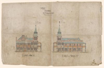
- Hotel Subiaco.
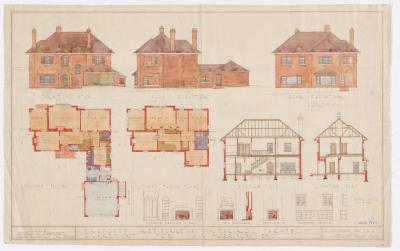
- Proposed residence at Bindaring Pde, Claremont for J.W. Morrison.
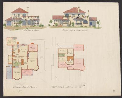
- Two storey house, Havelock St, West Perth
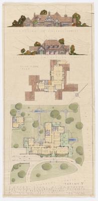
- Sketch plans of proposed residence for T.J.B. Wearne.
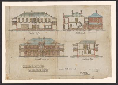
- Proposed convent, Geraldton.
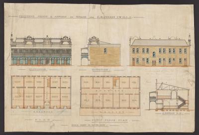
- Proposed shops and offices at Wagin,for C.A. Piesse Esq., MLC.
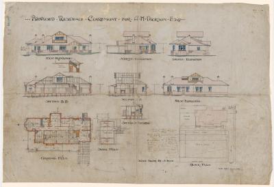
- Proposed residence for A.H. Dickson, Esq., Claremont.
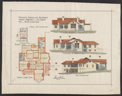
- Proposed bungalow residence for R.G. Lynne.
Scan this QR code to open this page on your phone ->
