Shire of Toodyay > Records
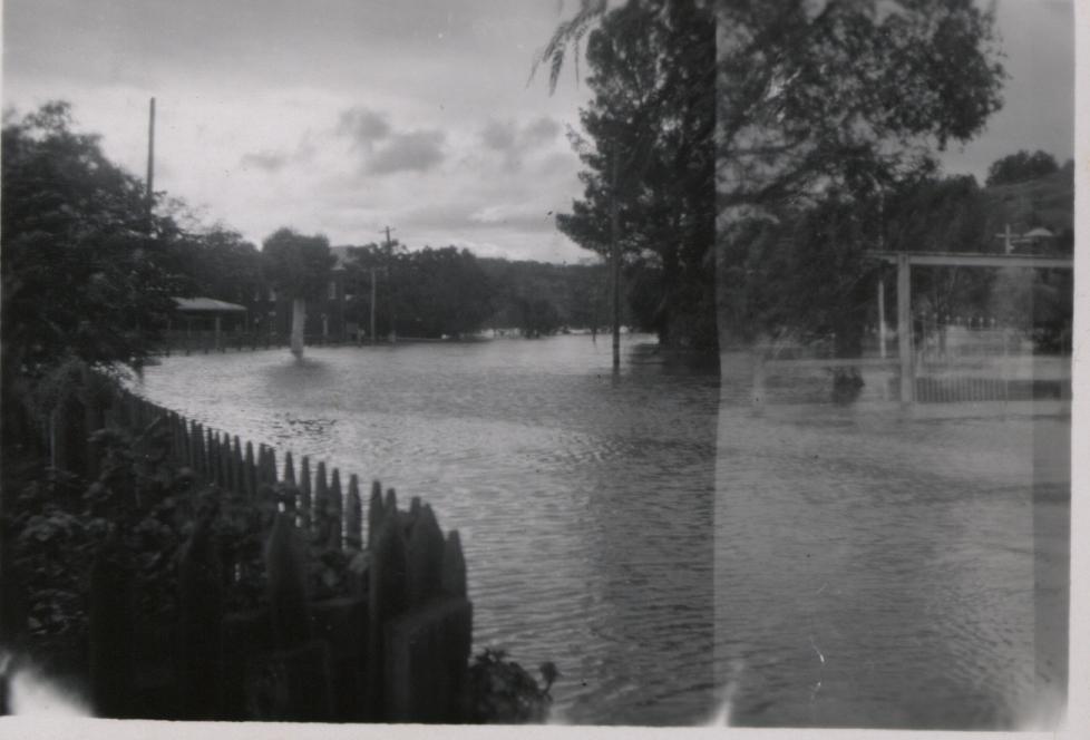
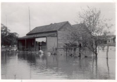
VIEW OF FLOOD ON STIRLING TERRACE TOODYAY FROM CONNOR'S MILL
c. 1953 - 1958Subcollections
Overview
A small back and white photo of the main street of Toodyay taken from Connor's Mill.
The power house is under water.
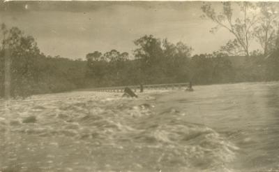
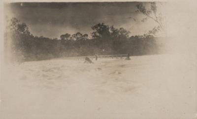
Newcastle Bridge is under water completely even the hand-rails.
Trees are around the area.
St. Stephen's Church gates can seen on the right.
Historical information
Flooding of the Avon River at Toodyay was reported in the Toodyay Herald in 1953, 1955 and 1958.
Details
Details
Registration number
cwa-org-37-2001.1459
Item type
Inscriptions and markings
On back of photo: in blue ink: "The main street taken from the power house. The bridge to Bolgart was under water completely even the hand rails."
Year
c. 1953 - 1958
Primary significance criteria
Historic significance
Google Maps search term / URL
https://www.google.com/maps/embed?pb=!4v1669558387391!6m8!1m7!1sS8fJI6sw3rJP-OWJjiahQg!2m2!1d-31.55022810727401!2d116.465228087671!3f280.91449213065005!4f2.774995105785976!5f0.7820865974627469
Geotag
-31.550138893662, 116.46427641468
Open in Google Maps
Nearest geotagged records:
View all geotagged records...
Open in Google Maps
Nearest geotagged records:
- CHURCH; ANGLICAN, ST STEPHEN'S, TOODYAY (0.07km away)
- FLOODING AROUND ST STEPHENS CHURCH, TOODYAY (0.07km away)
- STIRLING TERRACE, TOODYAY (0.08km away)
- CONNORS MILL, TOODYAY (0.09km away)
- TOODYAY HOMES FOR THE AGED (BUTTERLY COTTAGES) (0.09km away)
- TOODYAY AVON RIVER FLOOD 1952 (0.09km away)
- ST STEPHENS CHURCH, TOODYAY (0.09km away)
- TOODYAY BOARDING HOUSE; FLOODED 1955 (0.09km away)
- World War 2, Australia Western Australia, SS Vyner Brooke, BEARD, 1940 (0.09km away)
- CONNORS MILL AND ST. STEPHENS CHURCH (0.1km away)
View all geotagged records...
Other items from Shire of Toodyay
-
FLOODS OVER BRIDGE, TOODYAY
-
FLOODS OVER BRIDGE
-
TOODYAY SHIRE OFFICE - COURTHOUSE
-
HOUSE IN HENRY STREET, TOODYAY, SURROUNDED BY FLOOD WATERS
-
SPILLWAY ON HENRY STREET
-
JAGER'S STORE STIRLING TERRACE TOODYAY
-
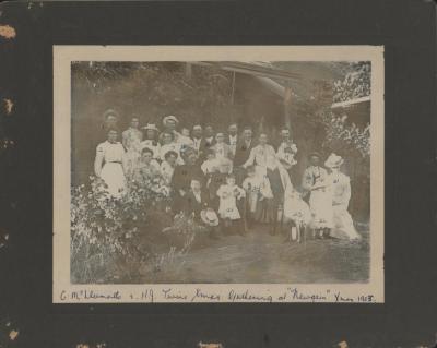
CHRISTMAS PARTY AT "NEWGAIN", TOODYAY
-
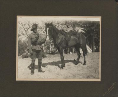
SOLDIER OF 10TH LIGHT HORSE
-
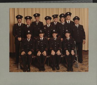
TOODYAY FIRE BRIGADE COMPETITION WINNERS
-
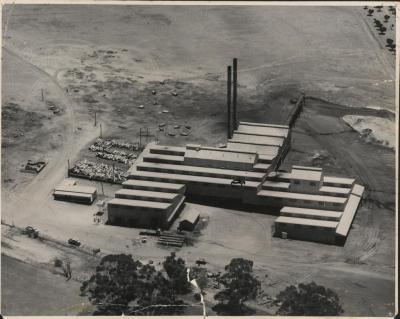
INDUSTRIAL EXTRACTS FACTORY, AERIAL VIEW
-
ST STEPHENS CHURCH. TOODYAY - INTERIOR
-
GAOL WARDERS KITCHEN - NEWCASTLE GAOL