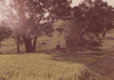
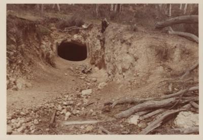
MINE SITE
A faded colour photo of a possible mine site with heavily timbered bush.
Two mound of sandy coloured soil, one bigger than the other, are to the left of the photo.
Behind the the left mound is a timber structure.
To the right, at the foot of a large tree trunk, is a dam wall constructed with a horizontal tree trunk and smaller vertical slatted uprights.
A similar structure, not clearly seen, is behind.
A small timber structure is in the left foreground.
The location is unknown but it is presumed to be within the Shire of Toodyay.
Details
Details
In 1852 gold was first noted in the Toodyay area and in around 1895 there was talk again of gold in the Jumperding area. However, it was in 1931, early in the first Great Depression, that a second discovery of alluvial gold was found in the same area at Yinnidining Creek, eight miles south-west of Toodyay. This started a gold rush and by 1932 there were over a 100 prospectors camped in the valley. In 1934, load bearing rock was discovered. There was a connection with Western mining Company during the 1930's. The mine closed in 1950. The largest shaft was Brown's Reward Mine. Mica shist is till extracted from the area by the Midland Brick Company to blend with clays in the production of bricks for the residential market in Perth.
Ref: 'Toodyay Gold', Peter J Bridge 2008; 'Toodyay, the good old days', Wally Chitty 2004, State Heritage Office, InHerit entry for site of Jimperding Gold Mine Place No. 12441
Other items from Shire of Toodyay
-
ROCK IN PADDOCK NEAR WATERCOURSE
-
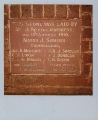
FOUNDATION STONE OF THE TOODYAY TOWN HALL
-
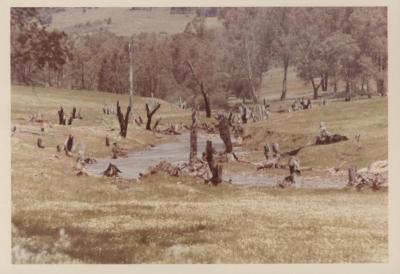
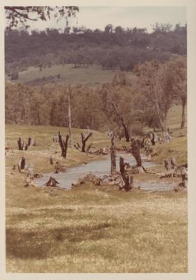
WATERCOURSE IN PADDOCK
-
POSSIBLE MINE SITE
-
WATER COURSE IN PADDOCK (2)
-
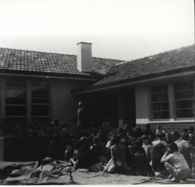
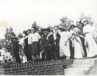
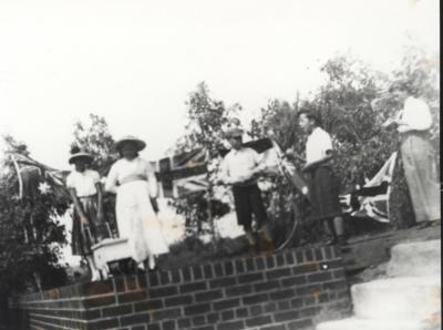
OPENING OF NEW TOODYAY SCHOOL 1954
-
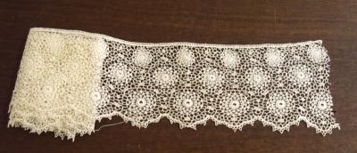
LENGTH OF LACE
-
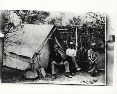
CAMP AT BARDOC
-
OPENING NEW SCHOOL
-
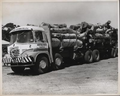
A SEMI-TRAILER LOADED WITH LOGS
-
STUDENTS AT SCHOOL OPENING
-
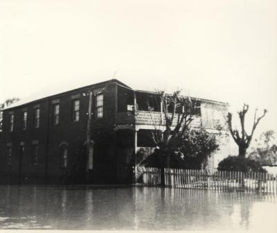
BOARDING HOUSE DURING FLOODS OF 1955